Blog details
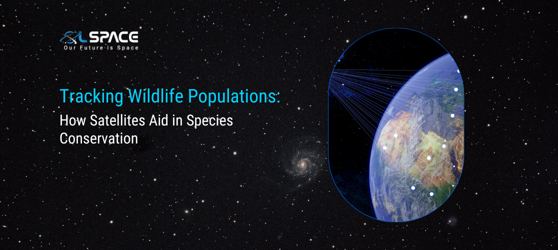
Tracking Wildlife Populations: How Satellites Aid in Species Conservation
26 July 2024
Tracking Wildlife Populations: How Satellites Aid in Species Conservation
Wildlife conservation is facing unprecedented challenges, with habitat loss, climate change, and poaching threatening species across the globe. In this critical battle for biodiversity, technology plays a pivotal role. Satellites, with their ability to provide vast amounts of data from remote areas, are revolutionising the way we monitor and protect wildlife populations. This blog explores how satellite technology is being harnessed to aid in species conservation, enhancing our ability to track, understand, and safeguard endangered species and their habitats.
The Role of Satellites in Wildlife Conservation
Satellites offer a unique vantage point, providing comprehensive and consistent data over large geographical areas. This capability is essential for effective wildlife monitoring and conservation efforts. Here’s how satellites are transforming species conservation:
1. Habitat Monitoring and Mapping
Satellites equipped with high-resolution imaging sensors can capture detailed images of terrestrial and marine habitats. These images help researchers map critical habitats, track changes in land use, and identify potential threats such as deforestation, urban expansion, and illegal land conversion.
Key Technologies: Remote sensing, LiDAR (Light Detection and Ranging), and multispectral imaging.
Applications: Mapping wildlife corridors, identifying potential habitat fragmentation, and monitoring the health of ecosystems.
2. Animal Tracking and Migration Studies
Satellites facilitate the tracking of animals across vast distances, providing invaluable data on migration patterns, movement behaviors, and habitat use. This information is crucial for understanding species’ survival strategies and for designing effective conservation plans.
Key Technologies:GPS collars, satellite tags, and telemetry systems.
Applications:Tracking migratory routes of birds, sea turtles, and marine mammals, and studying the movement patterns of large mammals like elephants and lions.
3. Population Monitoring and Health Assessment
With the ability to cover extensive areas, satellites enable continuous monitoring of wildlife populations. This monitoring helps in assessing population trends, identifying critical habitats, and detecting signs of stress or disease outbreaks among wildlife populations.
Key Technologies: High-resolution imaging, thermal infrared sensors, and synthetic aperture radar (SAR).
Applications:Estimating population sizes, identifying areas of high poaching risk, and monitoring the health of coral reefs and marine species.
Real-World Applications
1. Tracking Elephants in Africa
Using GPS collars equipped with satellite communication, researchers can track the movements of elephants across the African savannah. This data helps in understanding their migratory routes, identifying conflict zones with humans, and planning protected areas to ensure their survival.
2. Monitoring Coral Reefs with Satellite Imaging
Satellites equipped with multispectral sensors are used to monitor the health of coral reefs. By analysing the reflectance patterns of coral reefs, scientists can detect changes in coral cover, assess the impact of bleaching events, and identify areas needing conservation intervention.
3. Protecting Marine Turtles
Satellite tags attached to marine turtles provide data on their nesting sites, migration routes, and foraging grounds. This information is crucial for establishing marine protected areas and mitigating threats such as fishing nets and climate change-induced habitat loss.
Enhancing Data Integration and Analysis
The true potential of satellite technology in wildlife conservation is realised when combined with advanced data analytics and artificial intelligence (AI). Here’s how data integration and AI are enhancing conservation efforts:
1. Predictive Modeling and Threat Detection
AI algorithms analyse satellite data to predict potential threats to wildlife populations, such as habitat loss, poaching hotspots, and climate-related changes. Predictive models help in proactive conservation planning, enabling timely interventions.
Key Technologies:Machine learning, deep learning, and spatial data analysis.
Applications: Predicting poaching activities, modeling habitat suitability, and assessing the impact of climate change on species distribution.
2. Real-Time Monitoring and Reporting
Advanced satellite systems provide real-time data on wildlife movements and habitat conditions. This capability allows conservationists to respond promptly to emergencies, such as poaching incidents or natural disasters affecting wildlife habitats.
Key Technologies:Real-time data streaming, IoT sensors, and cloud computing.
Applications:Real-time tracking of endangered species, instant alerts for poaching activities, and monitoring the impact of wildfires and floods on wildlife habitats.
Challenges and Future Directions
While satellites have revolutionised wildlife conservation, several challenges remain:
1. Data Accessibility and Integration
Integrating satellite data with ground-based observations and ensuring its accessibility to conservationists worldwide is crucial for effective decision-making.
2. High Costs and Technological Barriers
The cost of satellite missions and the need for advanced technology can be prohibitive. Developing cost-effective solutions and fostering international collaborations are essential for scaling up conservation efforts.
3. Ethical and Privacy Considerations
Ensuring that wildlife monitoring practices respect ethical guidelines and privacy concerns of local communities is vital for sustainable conservation.
Conclusion
Satellites are undeniably transforming wildlife conservation, offering unprecedented opportunities to monitor, protect, and preserve our planet’s biodiversity. By leveraging the power of satellite technology, advanced data analytics, and AI, we can develop more effective conservation strategies, enhance our understanding of wildlife dynamics, and ensure a sustainable future for all species. As we continue to innovate and collaborate, the future of wildlife conservation looks promising, with satellites at the forefront of this vital mission.