Blog details
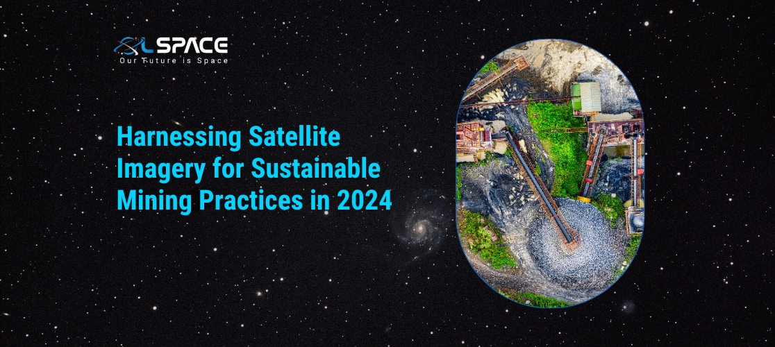
Harnessing Satellite Imagery for Sustainable Mining Practices in 2024
28 June 2024
Harnessing Satellite Imagery for Sustainable Mining Practices in 2024
The mining industry is at a pivotal point, where sustainability and technological innovation are converging to shape the future of resource extraction. In 2024, one of the most promising advancements in this field is the use of satellite imagery. This technology is revolutionising how mining companies monitor environmental impact, manage resources, and ensure compliance with sustainability standards. Let’s delve into how satellite imagery is harnessing sustainable mining practices this year.
The Role of Satellite Imagery in Mining
Satellite imagery involves capturing images of the Earth from satellites orbiting the planet. These images provide valuable data that can be analysed to gain insights into various aspects of mining operations. From monitoring land use changes to detecting potential environmental hasards, satellite imagery offers a comprehensive view that ground-based observations cannot match.
Key Benefits of Satellite Imagery in Sustainable Mining
1. Environmental Monitoring
One of the primary applications of satellite imagery in mining is environmental monitoring. High-resolution images can detect changes in vegetation, water bodies, and landforms, helping companies assess the environmental impact of their activities. This data is crucial for minimising ecological disruption and implementing effective mitigation strategies.
2. Resource Management
Satellite imagery aids in efficient resource management by providing detailed maps of mineral deposits and geological formations. This information allows mining companies to plan their operations more precisely, reducing waste and optimising resource extraction. Accurate mapping also minimises the need for intrusive exploration methods, preserving the natural landscape.
3. Compliance and Reporting
Regulatory compliance is a significant concern in the mining industry. Satellite imagery enables companies to track their adherence to environmental regulations and sustainability standards. By providing verifiable data, it simplifies the reporting process and enhances transparency with stakeholders, including government bodies and local communities.
4. Disaster Prevention and Management
Mining operations are susceptible to natural disasters such as landslides, floods, and earthquakes. Satellite imagery provides early warning systems by identifying potential hasards and monitoring weather patterns. This proactive approach helps in mitigating risks and ensuring the safety of mining personnel and surrounding communities.
Technologies Driving Satellite Imagery in Mining
1. High-Resolution Satellites
Modern satellites equipped with high-resolution cameras can capture detailed images of the Earth’s surface. These images are crucial for identifying small-scale changes and anomalies that may indicate environmental impact or resource deposits.
2. AI and Machine Learning
Artificial Intelligence (AI) and Machine Learning (ML) are enhancing the analysis of satellite imagery. These technologies can process vast amounts of data quickly, identifying patterns and trends that might be missed by human analysts. AI-driven insights enable more accurate predictions and better decision-making.
3. Remote Sensing
Remote sensing technologies, such as multispectral and hyperspectral imaging, capture data across different wavelengths of light. This capability allows for the detection of specific minerals and vegetation types, aiding in precise resource mapping and environmental monitoring.
Real-World Applications and Case Studies
Case Study: Environmental Restoration in South America
In South America, a leading mining company utilised satellite imagery to monitor reforestation efforts after mining operations. By comparing satellite images over time, the company ensured that the restored areas were thriving, meeting their sustainability goals and improving their environmental footprint.
Case Study: Mineral Exploration in Australia
In Australia, satellite imagery helped a mining firm identify new mineral deposits with minimal ground disturbance. The accurate mapping reduced the need for extensive drilling, preserving the natural environment and reducing exploration costs.
Future Trends in Satellite Imagery for Mining
As technology advances, the use of satellite imagery in mining is expected to grow. Innovations such as real-time monitoring, improved image resolution, and enhanced AI capabilities will further integrate satellite data into everyday mining operations. These advancements will drive the industry towards even more sustainable and efficient practices.
Conclusion
In 2024, satellite imagery is proving to be a vital tool in promoting sustainable mining practices. By offering unparalleled insights into environmental impact, resource management, compliance, and disaster prevention, this technology is helping the mining industry balance economic goals with ecological responsibility. As we look to the future, harnessing satellite imagery will be essential for creating a greener, more sustainable mining industry.